The Latest
DASHBOARDS
SEVERE
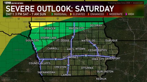
Day 1 Outlook (SPC)
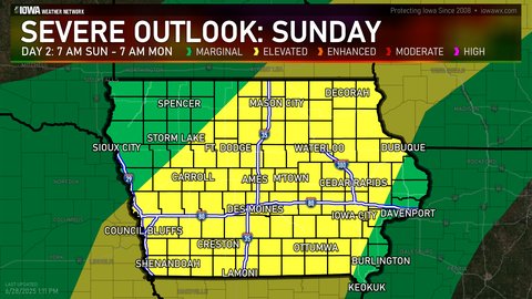
Day 2 Outlook (SPC)
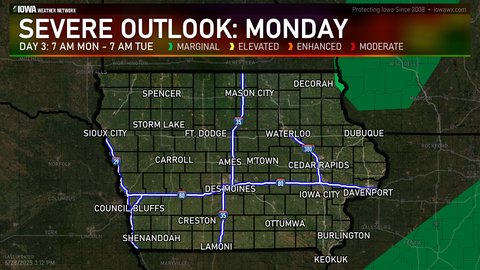
Day 3 Outlook (SPC)

Day 4-8 Outlook (SPC)
WINTER
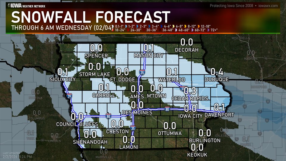
Latest Snowfall Forecast (NWS)
HYDROLOGIC
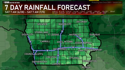
Latest Quantitative Precipitation Forecast (WPC)
DROUGHT
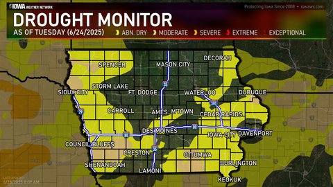
Latest Drought Monitor (CPC/NOAA/UNL)
FIRE WEATHER
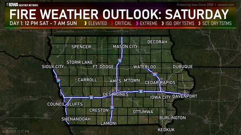
Day One Fire Danger Outlook (SPC)
CLIMATE
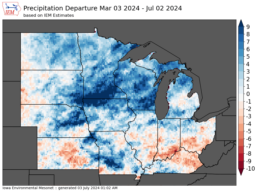
4 Month Precipitation Departures (IEM)