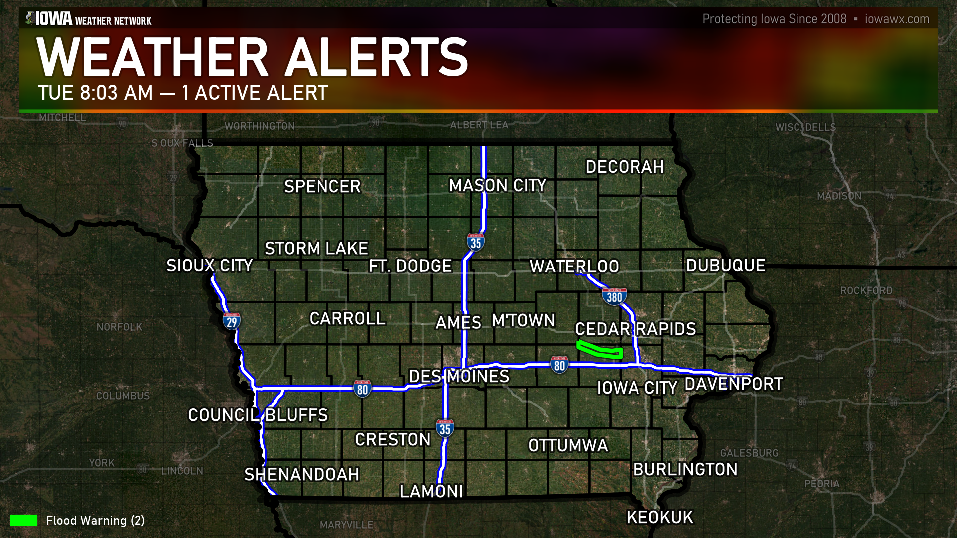
FLOOD WARNING
(4 counties)Wapsipinicon River near De Witt 4S (Clinton, Scott)
Until 3:00 AM Wednesday
More Information
...The Flood Warning is extended for the following rivers in Iowa...
Wapsipinicon River near De Witt 4S affecting Clinton and Scott
Counties.
Iowa River at Marengo affecting Benton and Iowa Counties.
PRECAUTIONARY/PREPAREDNESS ACTIONS...
Motorists should not attempt to drive around barricades or drive
cars through flooded areas.
Turn around, don't drown when encountering flooded roads. Most flood
deaths occur in vehicles.
The next statement will be issued by Monday morning at 1030 AM CDT.
&&
...FLOOD WARNING NOW IN EFFECT UNTIL EARLY WEDNESDAY MORNING...
* WHAT...Minor flooding is forecast.
* WHERE...Wapsipinicon River near De Witt 4S.
* WHEN...Until early Wednesday morning.
* IMPACTS...At 11.0 feet, Water affects County Road E63 north of the
river near Toronto and affects the lowest roads in Buena Vista.
* ADDITIONAL DETAILS...
- At 9:30 AM CDT Sunday the stage was 10.7 feet and falling.
- The river fell sharply below flood stage last night, but more
rain will produce additional rises on portions of the
Wapsipinicon River.
- Forecast...The river is expected to rise above flood stage
early Tuesday morning to a crest of 11.1 feet Tuesday
morning. It will then fall below flood stage Tuesday evening.
- Flood stage is 11.0 feet.
Iowa River at Marengo (Benton, Iowa)
Until 9:00 PM Monday
More Information
...The Flood Warning is extended for the following rivers in Iowa...
Wapsipinicon River near De Witt 4S affecting Clinton and Scott
Counties.
Iowa River at Marengo affecting Benton and Iowa Counties.
PRECAUTIONARY/PREPAREDNESS ACTIONS...
Motorists should not attempt to drive around barricades or drive
cars through flooded areas.
Turn around, don't drown when encountering flooded roads. Most flood
deaths occur in vehicles.
The next statement will be issued by Monday morning at 1030 AM CDT.
&&
...FLOOD WARNING NOW IN EFFECT UNTIL LATE TOMORROW EVENING...
* WHAT...Minor flooding is occurring.
* WHERE...Iowa River at Marengo.
* WHEN...Until late tomorrow evening.
* IMPACTS...At 15.0 feet, Water reaches the bottom of the levee
surrounding Marengo. Water affects low lying agricultural land
along the river
* ADDITIONAL DETAILS...
- At 10:00 AM CDT Sunday the stage was 15.0 feet and slowly
rising.
- Forecast...The river is expected to rise to a crest of 15.2
feet just after midnight tonight. It will then fall below
flood stage early tomorrow afternoon.
- Flood stage is 15.0 feet.


